
 This morning we were awakened thanks to the Lyons fire department at about 6:30. It was a 9 hour day that covered 70 miles of rural countryside,canal side homes, and marsh lands. In this part of New York the Erie Canal follows parts of the Seneca and the Oneida Rivers. This section of the canal was the last to open due to recent flooding and we had to dodge debris in several locations.
  The most interesting sight was the Montezuma Aqueduct which is located where the canal of 1862 crossed the Seneca River.
 The aqueduct was 900 feet long. When the present Erie Canal was constructed in the Seneca River the center section of the aqueduct was removed. (see photo)
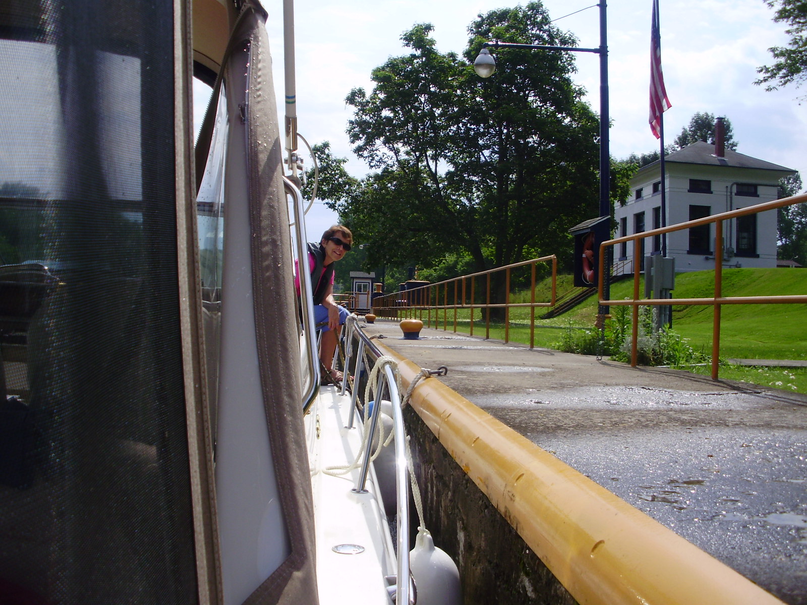
Locking has become very easy as you can see by the smile on Vick's face!
No comments:
Post a Comment